Trail work has started on the re-route of the Northville Placid Trail (NPT) in its earliest stages outside of Northville. This new trail will snake through the area that Protect the Adirondacks has proposed for the new West Stony Creek Wilderness area. This area is currently part of the Shaker Mountain Wild Forest area.
The Department of Environmental Conservation (DEC) and the Adirondack Mountain Club have completed over two miles of the re-routed Northville-Placid Trail (NPT), from the east side of the unit off of the Collins-Gifford Valley Road (accessed off of Route 30 a few miles north of the Northville bridge). This trail runs west to Mud Pond and beyond towards West Stony Creek. At this point, the route has not yet been completed through the whole tract. The DEC has begun flagging from the north. A major issue for trail planners will be how to cross West Stony Creek.
Here’s of a map PROTECT’s proposed West Stony Creek Wilderness Area:

This map shows the proposed new 12,000-acre West Stony Creek Wilderness area. The new beginning of the Northville Placid Trail starts in this area.
Show your support for this new Wilderness Area by signing our online petition.
Pictures from August 2014 of the Newly Constructed Northville Placid Trail, Mud Pond Area and West Stony Creek
Pictures below show parts of the proposed 12,000-acre West Stony Creek Wilderness area in the southern Adirondacks. This area includes new Forest Preserve lands and existing Forest Preserve land in the Shaker Mountain Wild Forest area. The existing Forest Preserve lands includes forest lands that have been in Forest Preserve for decades and some newer lands.
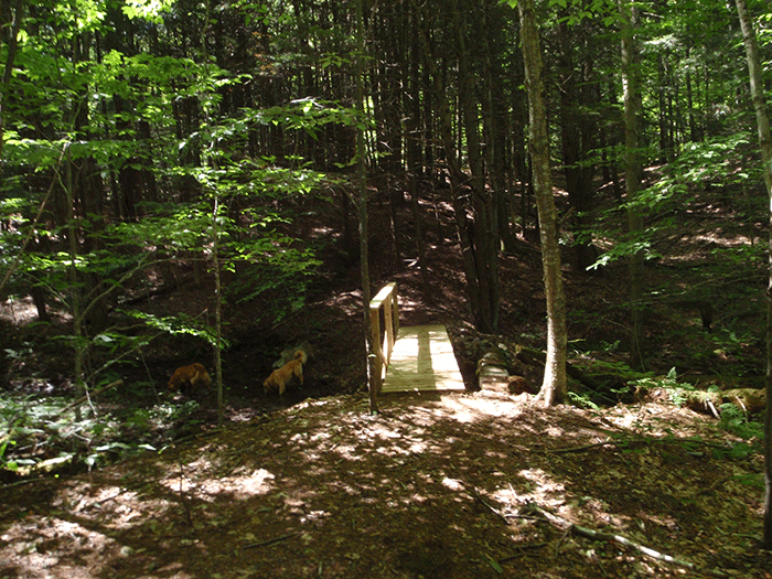
This bridge marks the beginning of a new section of the Northville Placid Trail (NPT). Currently, the trail begins at the south end of the Silver Lake Wilderness. Hikers who actually begin in Northville have walked along the Benson Road for years. The new trail will provide a great new beginning through one of the wildest parts of the Adirondacks.
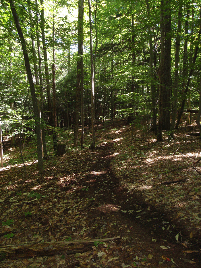
The picture above shows a newly constructed part of the Northville-Placid Trail.
Another stretch of the newly built Northville Placid Trail.
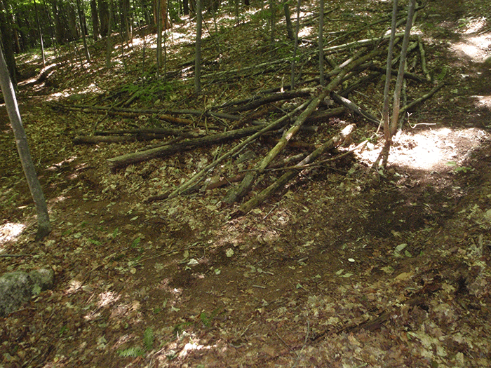
The early parts of the new Northville Placid Trail includes a number of switchbacks. A number of these switchbacks have been fortified with debris by the trail construction crew.
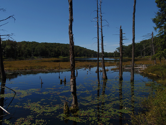
A view of Mud Pond, where the newly constructed part of the Northville Placid Trail runs.
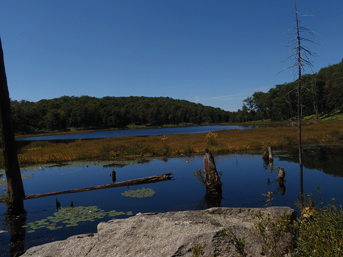
Another view of Mud Pond.
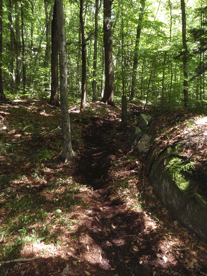
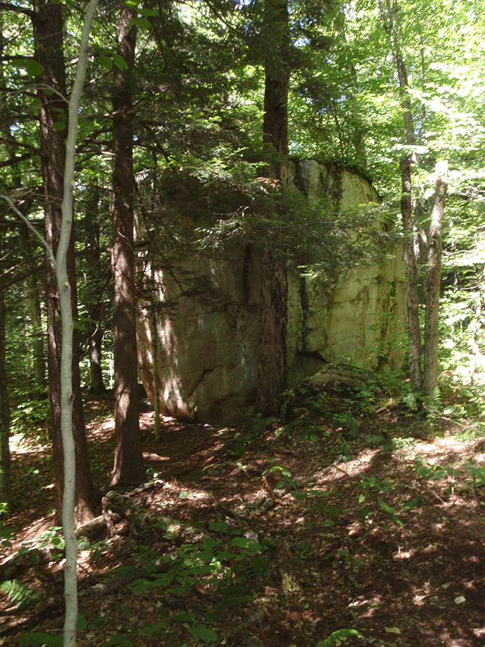 A stretch of the new trail that passes by a beautiful erratic boulder.
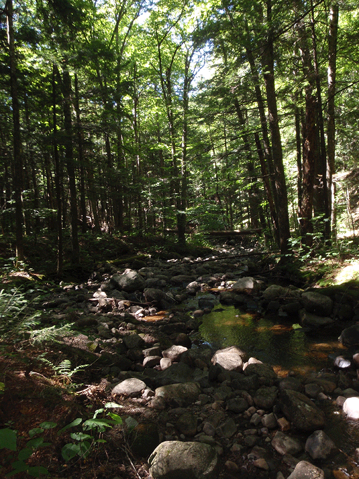 A number of beautiful streams cut through these lands. This is the outlet of Mud Pond.
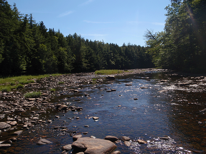
West Stony Creek. Big and wide, this shallow river swells to high levels with rainstorms and snowmelt because of its large watershed.
Another view of West Stony Creek. Note the grassy banks devoid of trees shaped by recurring high waters and winter ice.
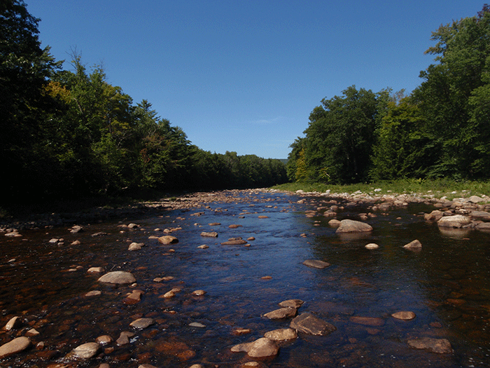
West Stony Creek is lined with a hard edge of tall trees. There are many enormous cedars and white pines. The grassy shelf is an ice meadow flooded by the rivers and ice through the winter months.
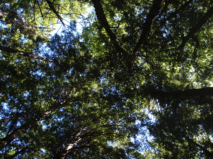
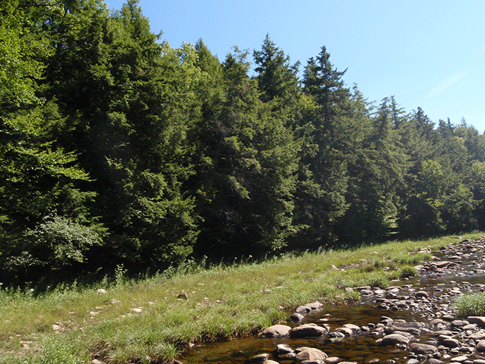
The forests around West Stony Creek are dominated by a high, full, intact closed forest canopy. These lands are mostly mature forests of steep and undulating terrain with extensive wetlands systems.
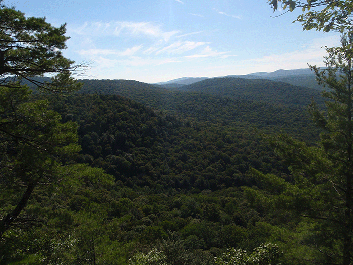
The high slopes above West Stony Creek and a dozen small rocky outcrops provide stunning view of these wild areas.


