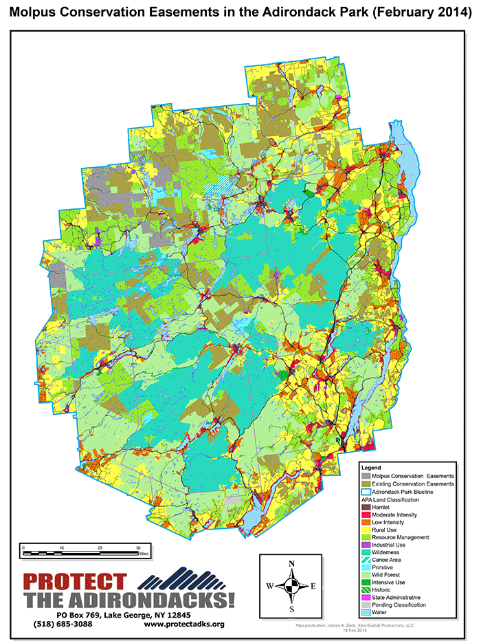
The Molpus Woodlands Group of Alabama recently purchased over 130,000 acres of forestlands in the Adirondack Park for over $57.5 million. Most of these lands are encumbered by state conservation easements and Molpus purchased the forest management rights and an assortment of recreational rights. The averages over $440 per acre for the forest management and recreational rights. This is the largest recent transaction of commercial forestlands in the Adirondacks. These lands are spread across the Adirondacks in Lewis, St. Lawrence, Franklin and Clinton counties. These lands include parts of the Middle Branch of the Oswegatchie River in Lewis County, extensive shoreline on the Carry Falls Reservoir, headwaters of the South Branch of the Grasse River, and extensive boreal lands east of Carry Falls.
Here’s a Molpus statement about the acquisition. Here’s a news report from the Watertown Daily Times.
Molpus purchased these lands from Rayonier. These lands include an assortment of conservation easement tracts that had been consolidated by Rayonier, including the Yorkshire easement lands south of Route 3 in Town of Colton, one of the earliest easements negotiated, the former Niagara Mohawk easements, and the Lassiter conservation easements, which was the first that New York State purchased in the late 1990s. Rayonier sold a major easement to the state nearly 10 years ago. Molpus has an office in Saranac Lake. See the Molpus lands below.
The Molpus lands include a variety of different conservation easements. The Yorkshire, Lassiter and Niagara Mohawks easements include extensive public recreational access. The Rayonier easements are quite restrictive and provide extensive private hunting club leases. The forest management rights on some of these conservation easements lands have been bought and sold several times.
The Molpus lands include extensive well managed forest dominated by high forest canopy. The former Rayonier lands and Lassiter lands are very different from the former Niagara Mohawk and Yorkshire lands, which have experienced intensive logging with extensive clearcuts and strip cuts.
Here are some aerial view of the new Molpus lands.
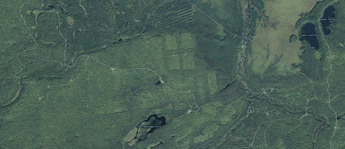
These are lands of the former Yorkshire conservation easement. Note the extensive use of small clearcuts and strip cuts. The lands surrounding Burnt Pond are Forest Preserve and stand out from the intensively logged areas.
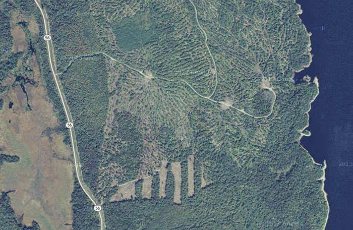
These are lands on the west shore of Carry Falls Reservoir. Note the extensive strip clearcuts and patch clearcuts.
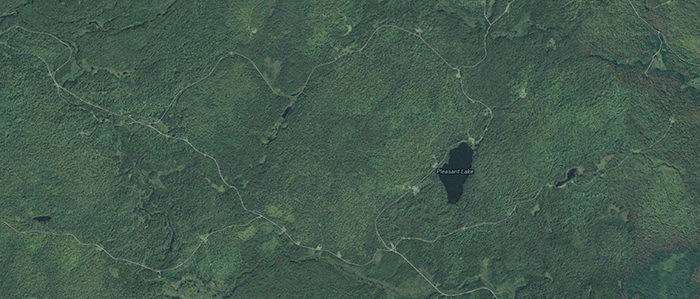
These are lands where Rayonier sold a conservation easement to NYS north of the South Branch of the Grasse River. These lands are part of a extensive block of land in St. Lawrence County of over 100,000 acres of conservation easement lands.
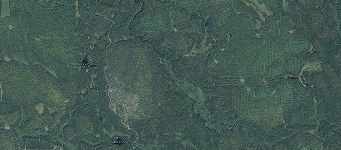
These are conservation easement lands east of Carry Falls Reservoir. These are boreal lands dominated by extensive wetlands and spruce-fir forests.
These lands are the center of an ongoing debate about whether to expand the use and size of clearcutting in the Adirondacks. The Adirondack Park Agency has convened a working group to study this issue.
Here’s some back ground information on the clearcutting controversy here and here.

