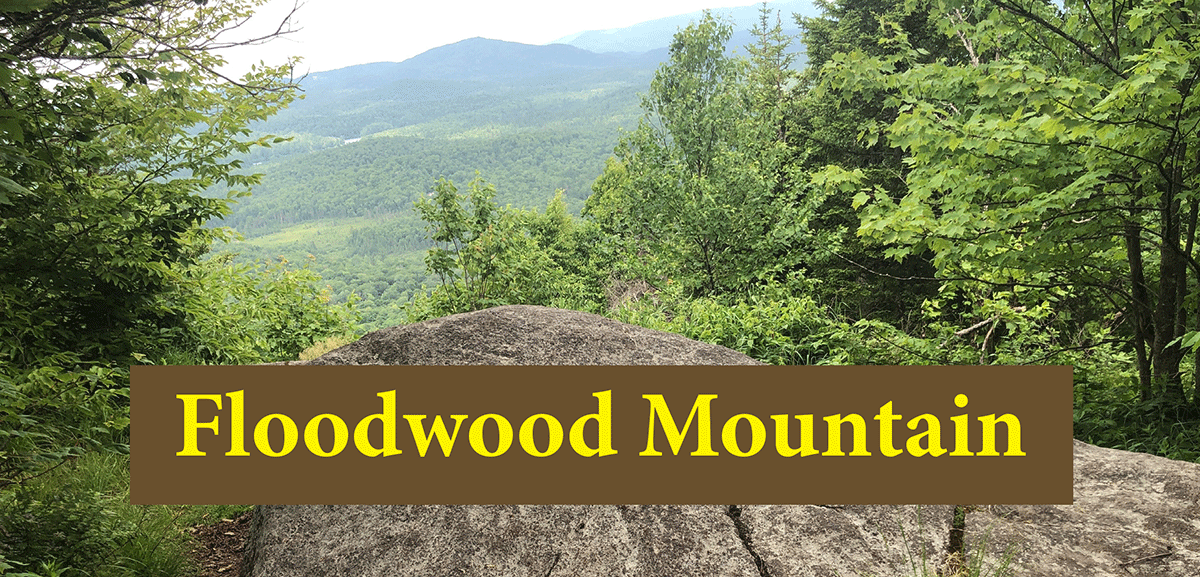
Floodwood Mountain is an easy climb to a small mountain peak with great views of the northern Adirondacks.
Floodwood Mountain
1.5 miles (3 miles round-trip)
Schroon, Franklin County
Northern Adirondacks
Hiking
Level of Difficulty: Easy
Hike Up Floodwood Mountain
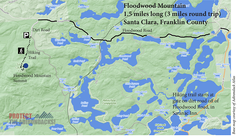
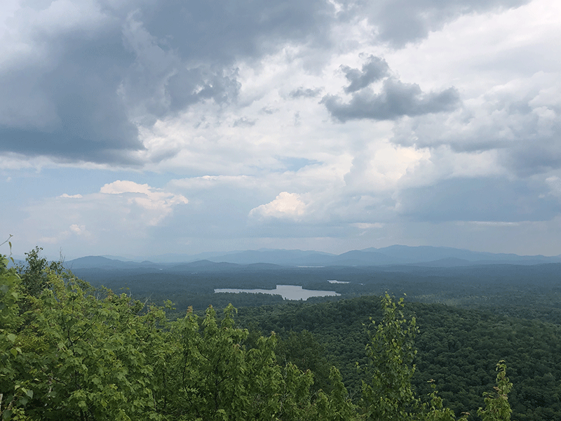
Floodwood Mountain is a 1.5-mile hike to the summit of a small mountain that provides views of Wolf Pond and conservation easement forest lands north of Tupper Lake. The trail is on public Forest Preserve in the Saranac Lake Wild Forest Area. The Floodwood Mountain is off the Floodwood Road, which is on the north side of Route 30 in Saranac Inn, between Wawbeek and Lake Clear. Though this is a long drive on a dirt road, the trail is accessible for people of differing abilities and ages.
The Trail Up Floodwood Mountain
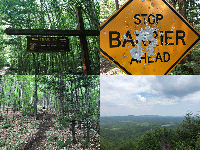
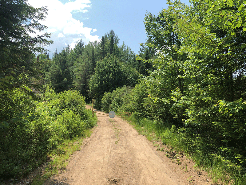
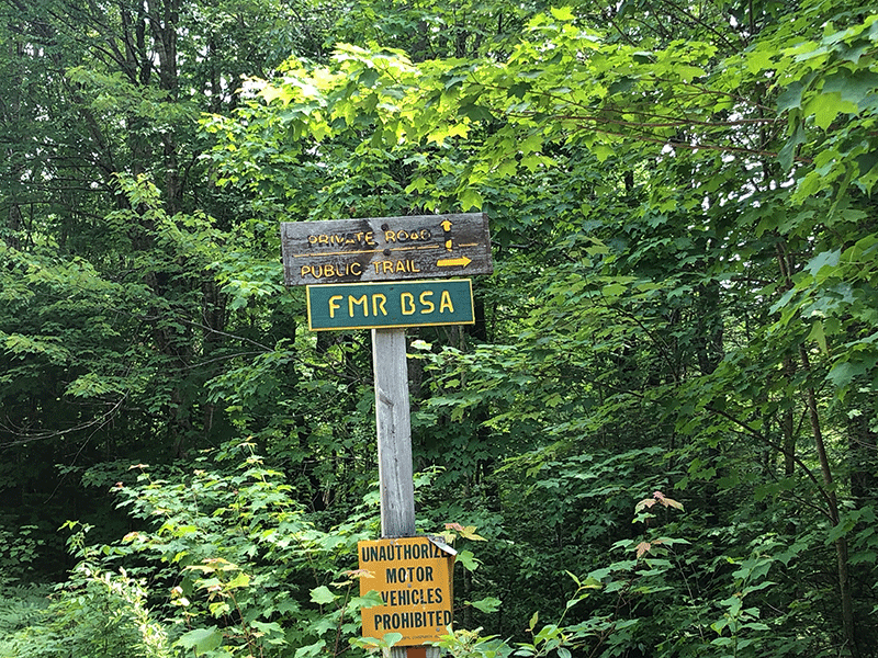
The trail starts more than six miles down the dirt and gravel Floodwood Road. Watch for signs for the trailhead and turn left on a dirt road marked for the mountain. Follow this road for a short distance until the gate. There is a parking area by the gate. From there, follow the dirt road on foot approximately 0.5 miles. There is one junction in this dirt road, bear right at the “Public Trail” sign and soon there will be a sign on the right marking the beginning of the hiking trail for Floodwood Mountain.
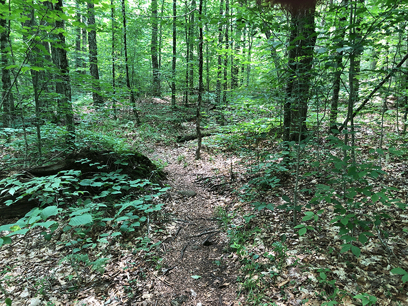
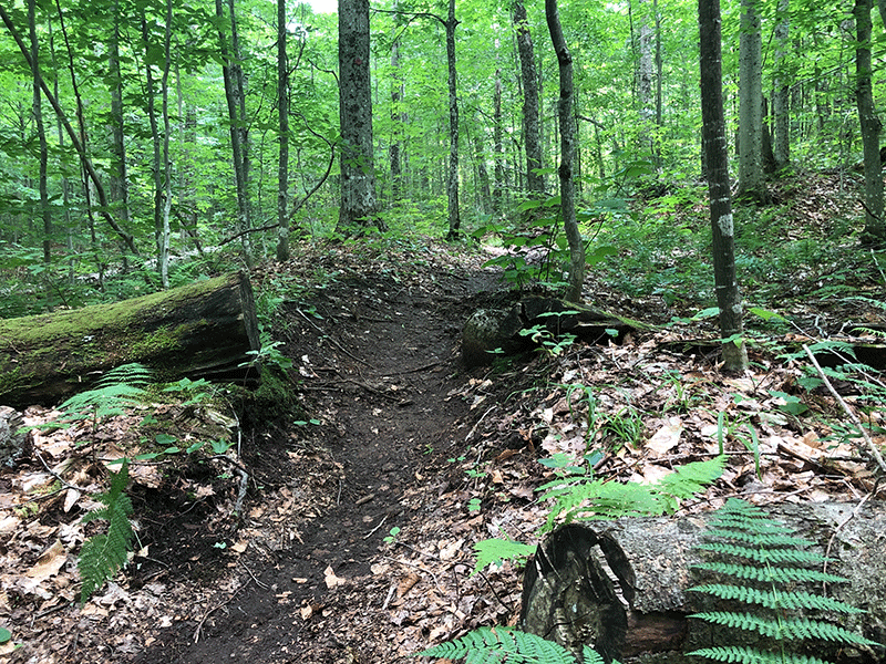
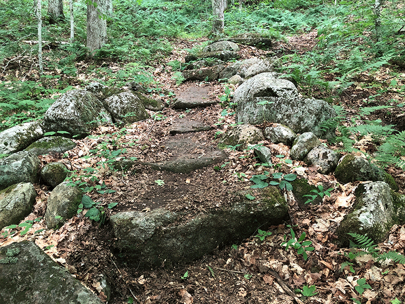
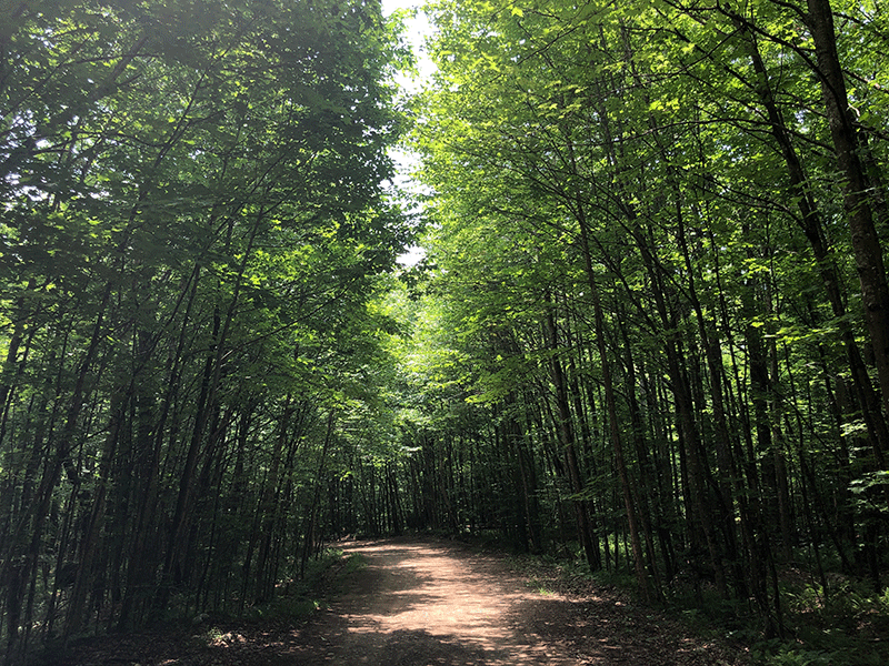
The hike from this point is 1-mile to the summit. The trail climbs gradually through a maple and beech hardwood forest and scales two summits. The trail is not heavily worn, but it is easy to follow and clearly marked with red trail markers. The only potential obstacles are light muddy areas and some loose stones.
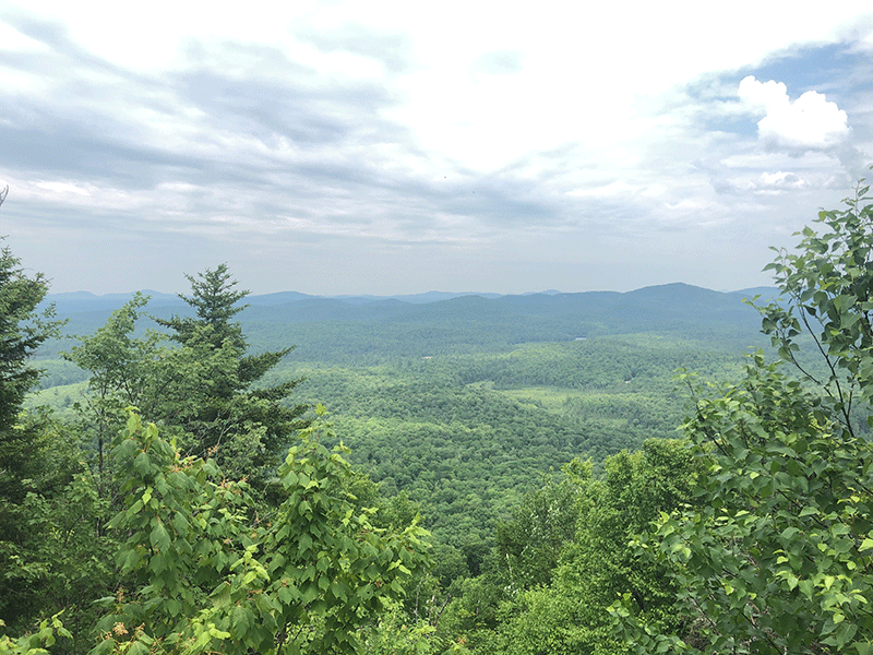
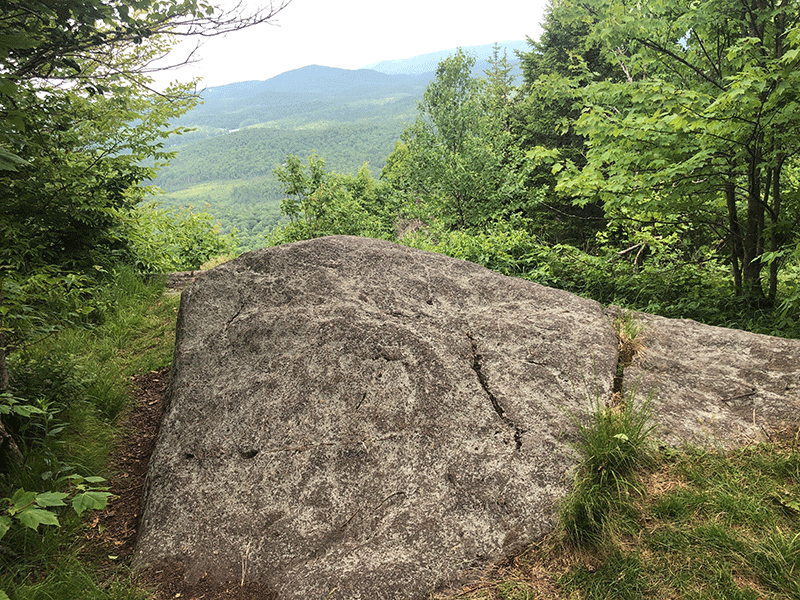
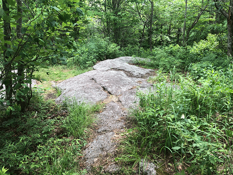
The first summit is a point of bedrock with a downslope facing east. Between treetops is an alley of view of the landscape to the east. Don’t stop at this point for too long; the southern summit is larger and the view is wider.
The Summit of Floodwood Mountain
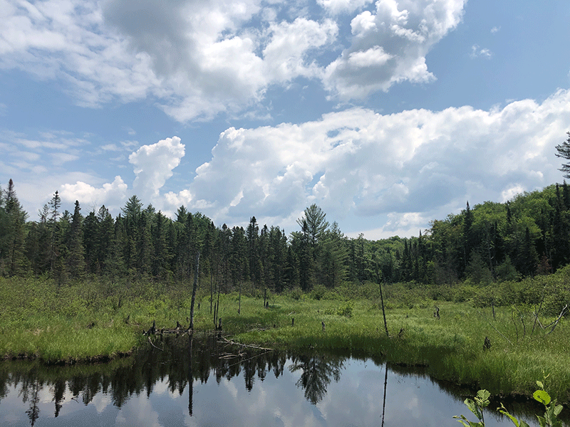
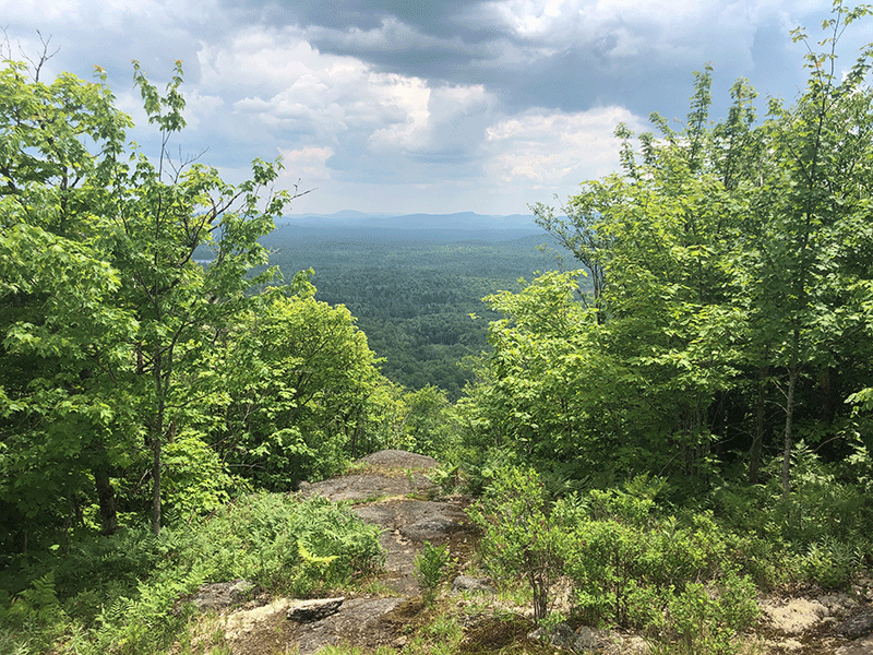
After the first summit, the trail dips through a small valley, which ends at the second summit’s protruding bedrock. Scramble up the side of this bedrock to reach the summit. From the top of Floodwood Mountain there is a good view to the west of Wolf Pond and rolling hills in the Forest Preserve and conservation easements lands.

The hike out is the same as the hike in.
Click here to download a map and trail directions for Floodwood Mountain.
When You Hike Make Sure to Practice “Leave No Trace” to be Prepared and to Protect the Forest Preserve
Please follow “carry in, carry out” rules for all trash and follow other Leave No Trace principles when hiking in the public Forest Preserve and other wild areas. The seven Leave No Trace principles are: 1) Plan ahead and prepare ; 2) Stay on hiking trails and camp at designated areas; 3) Dispose of human waste and trash properly; 4) Leave what you find; 5) Minimize campfires; 6) Respect wildlife; 7) Respect other hikers.
Educated hikers do not damage the environment. Prepared hikers do not need search and rescue unless injured.
Winter Use: Floodwood Mountain and the Floodwood Road are popular for cross-country skiing in the winter.
Click here to become a member of Protect the Adirondacks.


