The John Pond and Clear Pond Loop is a five mile trek through forest and wetlands, to multiple ponds and a lean-to
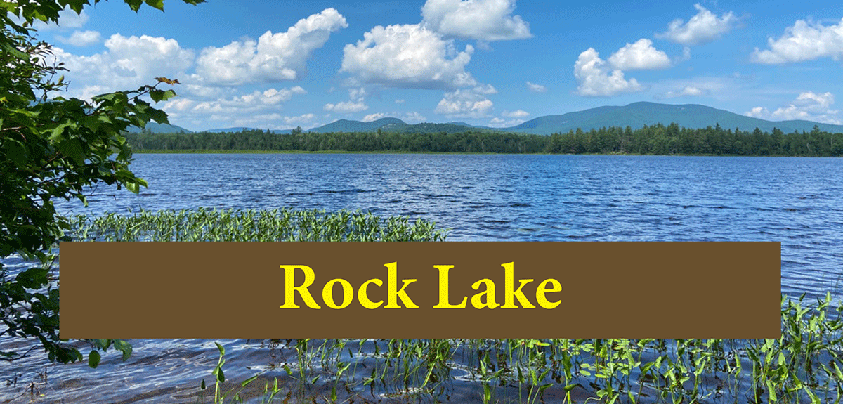
John Pond/Clear Pond
2.5 miles (5 miles round trip)
Siamese Ponds Wilderness Area
Indian Lake, Hamilton County
Hiking, Snowshoeing, Cross-Country Skiing
Level of Difficulty: Moderate
Hike John Pond
The trail to John Pond and Clear Pond is outside of Indian Lake in Hamilton County. This trail can be hiked as an out-and-back trail or as a loop to Clear Pond. This trail is part of the Siamese Ponds Wilderness Area in the public Forest Preserve. These trails pass through beautiful mature forests, lead to remote ponds and lean-tos, and access a historic cemetery.
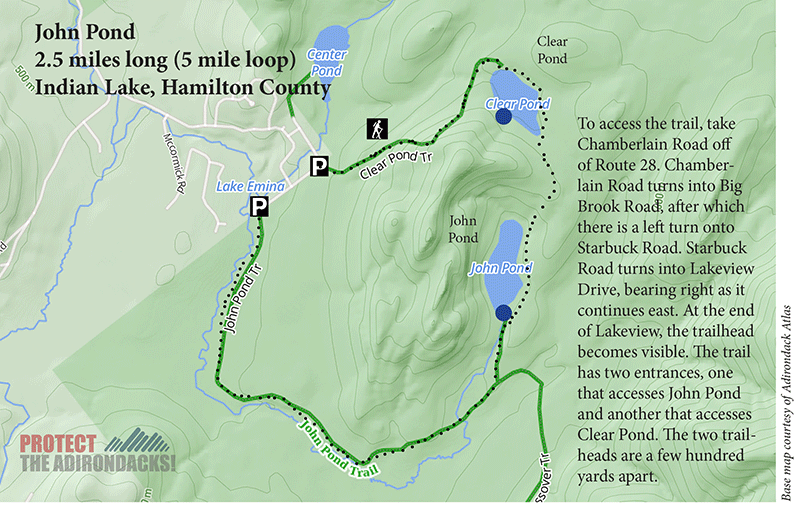
To access the trail, take Chamberlain Road off of Route 28. Chamberlain Road turns into Big Brook Road, after which there is a left turn onto Starbuck Road. Starbuck Road turns into Lakeview Drive, bearing right as it continues east. At the end of Lakeview, the trailhead becomes visible. The trail has two entrances, one that accesses John Pond and another that accesses Clear Pond. The two trails are a few hundred yards apart.
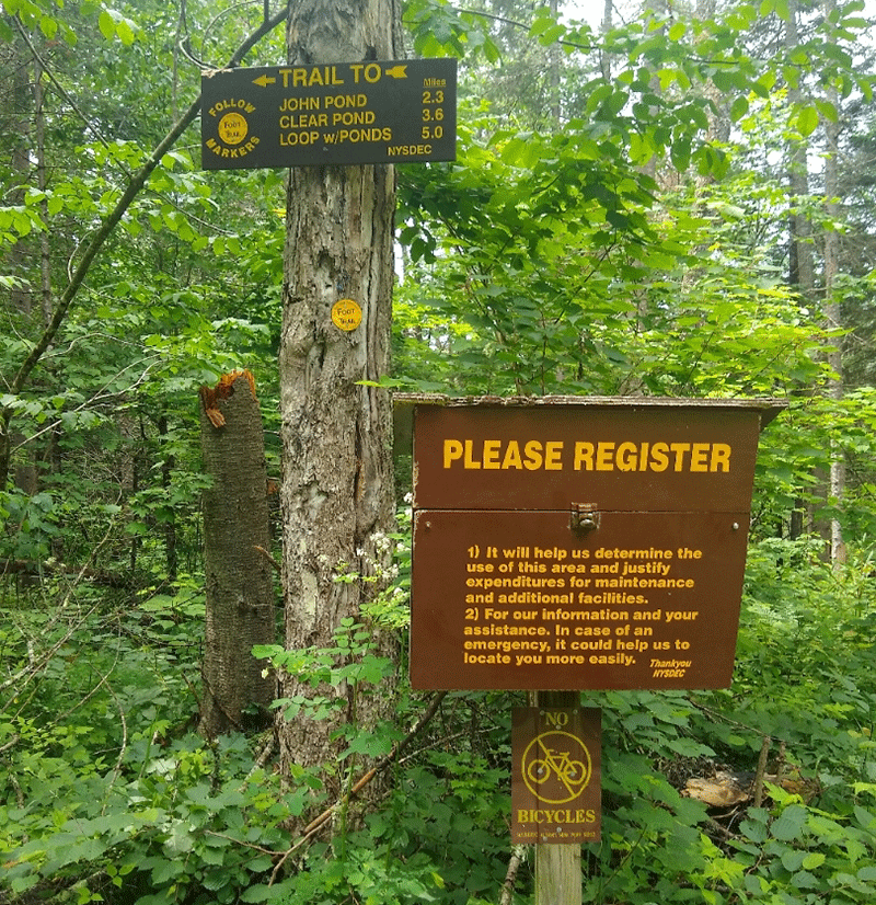
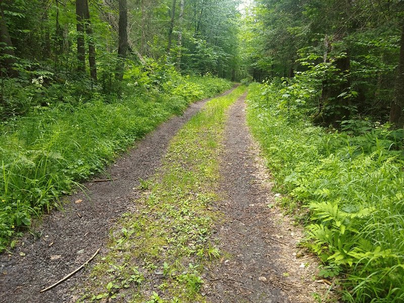
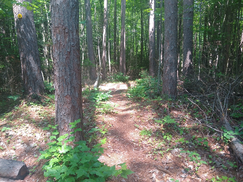
The John Pond trail begins on an old road and reaches the trail register after a couple of hundred feet. After the trail register, the rail narrows after a rock barrier, although the old road is still clear from the wide section around the trail that lacks trees. Sections of pine forest alternate over the first couple of miles with sections of clear, grassy areas and wetland nearby.
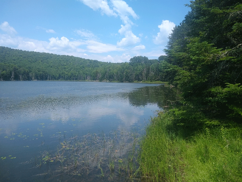
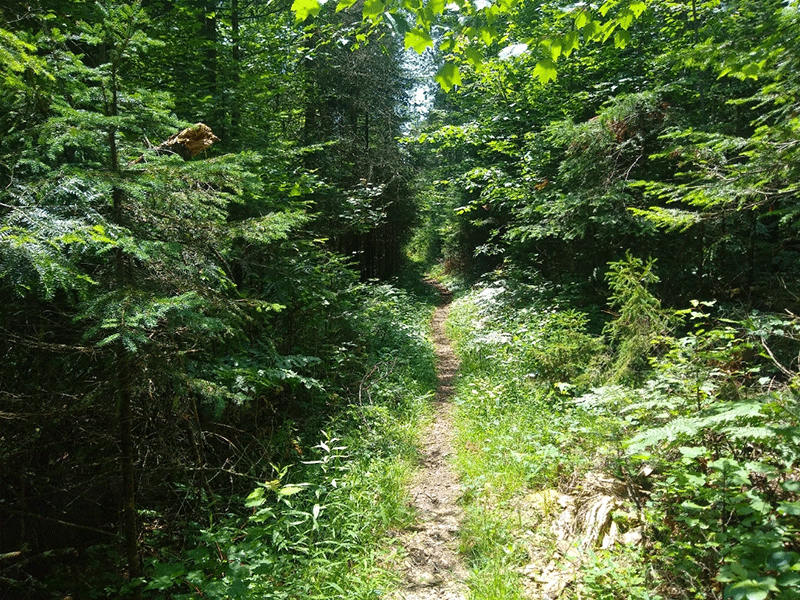
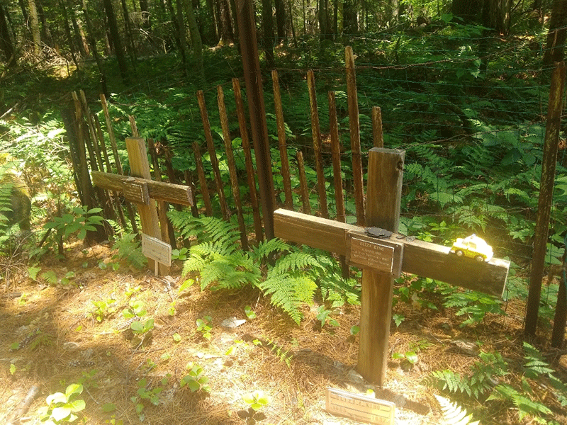
After about a mile and a half, the trail reaches a junction, and a small side trail leads off to a historic cemetery with graves dating to 1897 for two people who died in a black diphtheria epidemic. The site certainly makes for an interesting and quick detour. Returning to the trail, John Pond and the nearby lean-to are another mile from the gravesites. To reach John Pond, bear left at the next trail junction and follow the red trail markers for a short distance.
The Clear Pond Loop
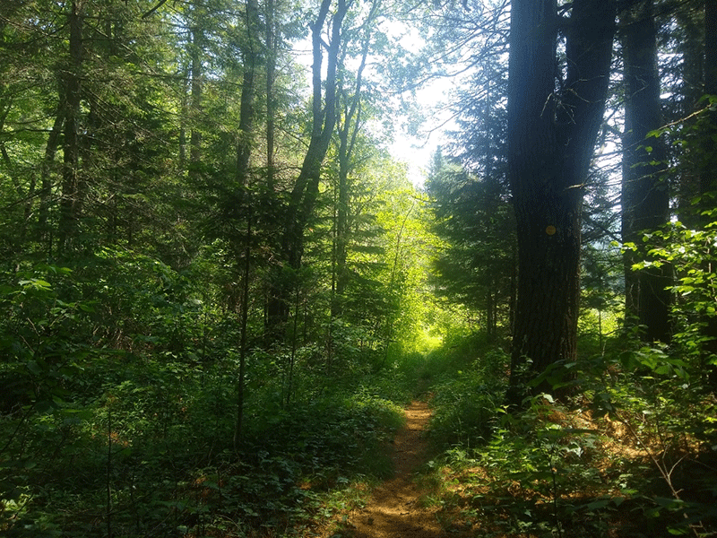
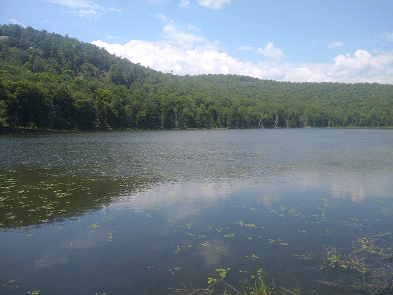
At the trail junction, the trail marked in yellow trail markers on the right continues on to the Clear Pond’s loop. Completing the loop or turning back each cover about the same 2.5-mile distance. The yellow trail to Clear Pond climbs to a higher elevation. Clear Pond is about 0.75 miles from the John Pond trail junction. Clear Pond has a couple of clear viewpoints from the trail, but fallen trees in the pond make for a good resting spot or a vantage point to enjoy a big view.
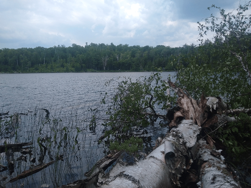
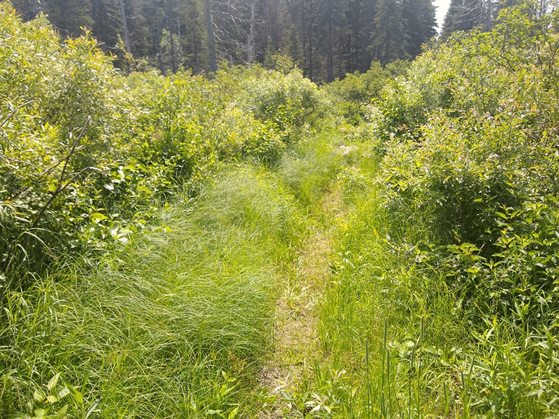
The trail after Clear Pond winds for another 1.5 miles or so through a section of young forest, with small maple trees and birches. This is consistent until near the end of the trail. The loop ends on Wilderness Lane, just a couple hundred yards from its starting point. Walking along the road will take hikers back to their vehicles.
The loop as a whole is an easy hike, mostly flat, and with only a couple of troublesome muddy spots. This trail is appropriate for all ages and ability levels, so long as hikers can walk the full loop of around 5 miles.
Click here for a map and directions to John Pond and Clear Pond.
When You Hike Make Sure to Practice “Leave No Trace” to be Prepared and to Protect the Forest Preserve
Please follow “carry in, carry out” rules for all trash and follow other Leave No Trace principles when hiking in the public Forest Preserve and other wild areas. The seven Leave No Trace principles are: 1) Plan ahead and prepare; 2) Stay on hiking trails and camp at designated areas; 3) Dispose of human waste and trash properly; 4) Leave what you find; 5) Minimize campfires; 6) Respect wildlife; 7) Respect other hikers.
Educated hikers do not damage the environment. Prepared hikers do not need search and rescue unless injured.
Winter Use: John Pond and Clear Pond are popular ski trails in the winter.
Click here to become a member of Protect the Adirondacks.
