Pharaoh Mountain is a challenging 6.25-mile hike to remote mountain deep within the Pharaoh Lake Wilderness area north of Brant Lake.
Pharaoh Mountain
6.25 miles (12.5 miles round trip)
Horicon, Warren County
Pharaoh Lake Wilderness
Hiking, Snowshoeing, Cross-Country Skiing
Level of Difficulty: Challenging
Hike Up Pharaoh Mountain
Pharaoh Mountain is a 6.25-mile hike outside of Brant Lake in the central Adirondacks. The trail is on public Forest Preserve in the Pharaoh Mountain Wilderness Area. This is a long hike to reach the summit of Pharaoh Mountain. The trail winds along old dirt roads, open wetlands, and Pharaoh Lake. There are many campsites and lean-tos along the way.
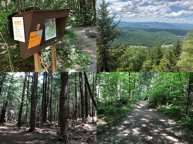
The trailhead parking lot is on Pharaoh Lake Road. From Route 8, at the east end of Brant Lake, take Palisades Road to Beaver Pond Road to Pharaoh Lake Road. The trailhead and gate are a short way on the Pharaoh Lake Road. The trailhead register is at the edge of the parking area.
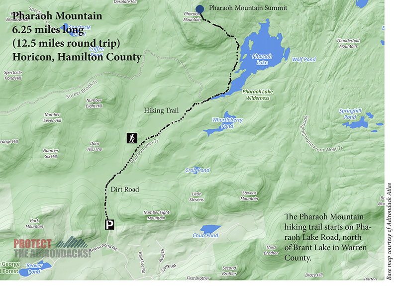
The Pharaoh Mountain Hiking Trail
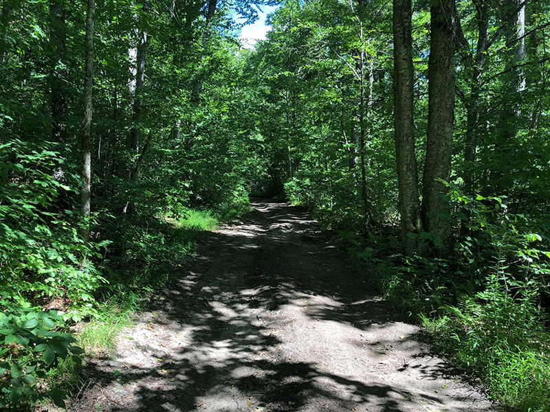
From the parking lot, the trail begins on an unattractive jeep road, often rutted and muddy, but quickly ends at a second parking area less than a mile in. This is a Wilderness area and this road should be gated and no motor vehicles should be allowed to drive on this road unless there’s a public emergency.
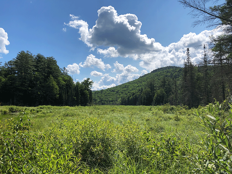
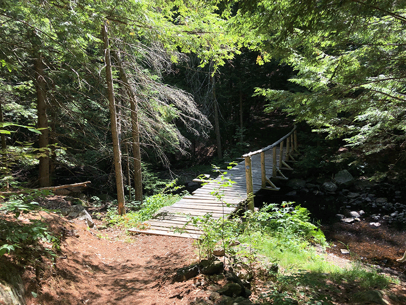
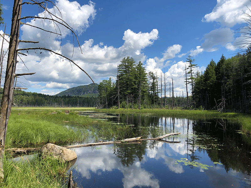
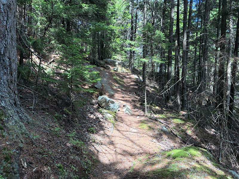
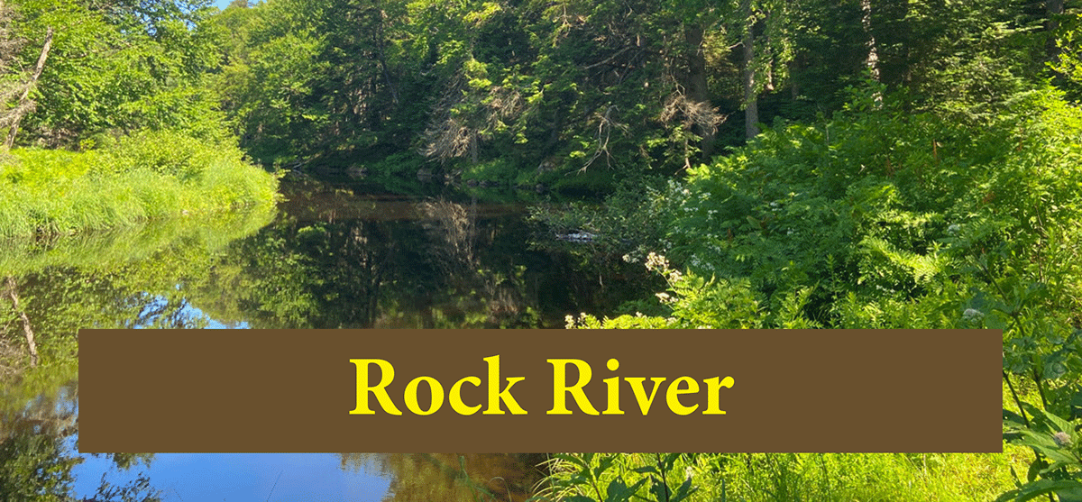
After the second parking area, the trail leads across a beautiful wetland meadow on a boardwalk trail. Beyond the wetland, the trail remains wide and easy to follow but is no longer a jeep track. The width and flat terrain of this trail make it a popular route in the winter for Nordic skiers. Soon there is a bridge that crosses the outlet of an even larger wetland surrounding meandering Pharaoh Lake Brook, which will parallel the trail on its second leg. The trail in this section remains wide, flat, and easy. Hikers can get a periodic view of Pharaoh Mountain across the wetland.
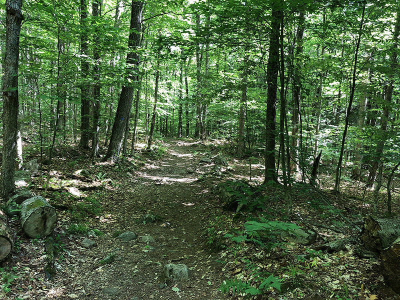
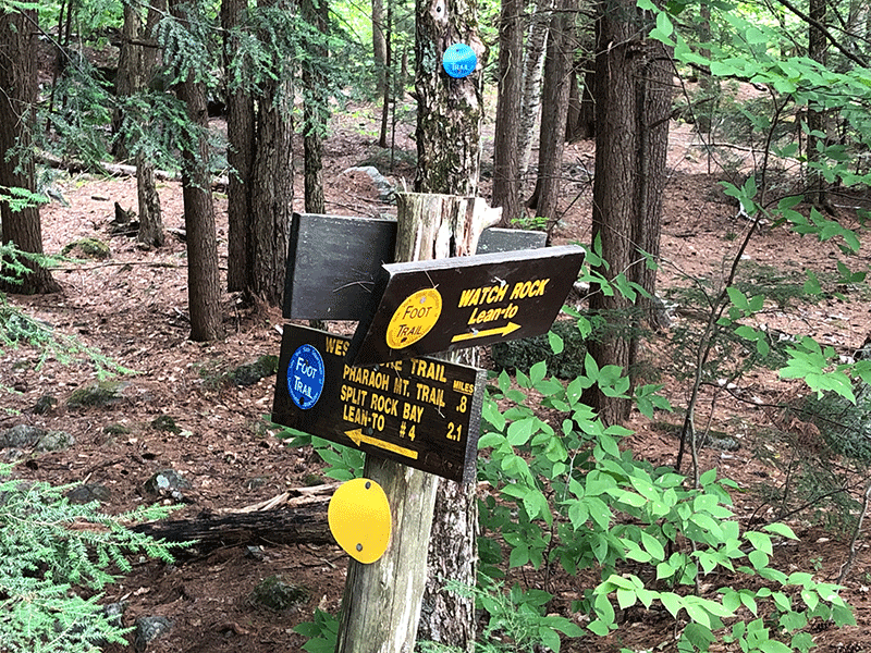
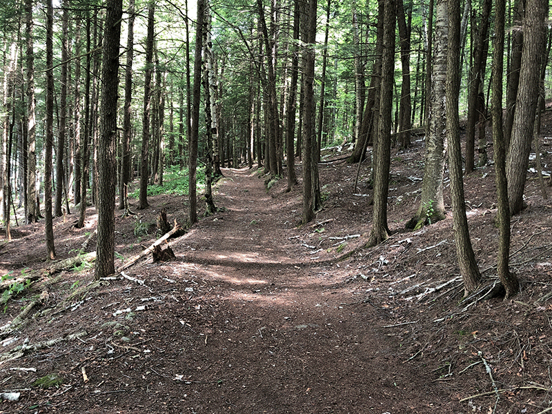
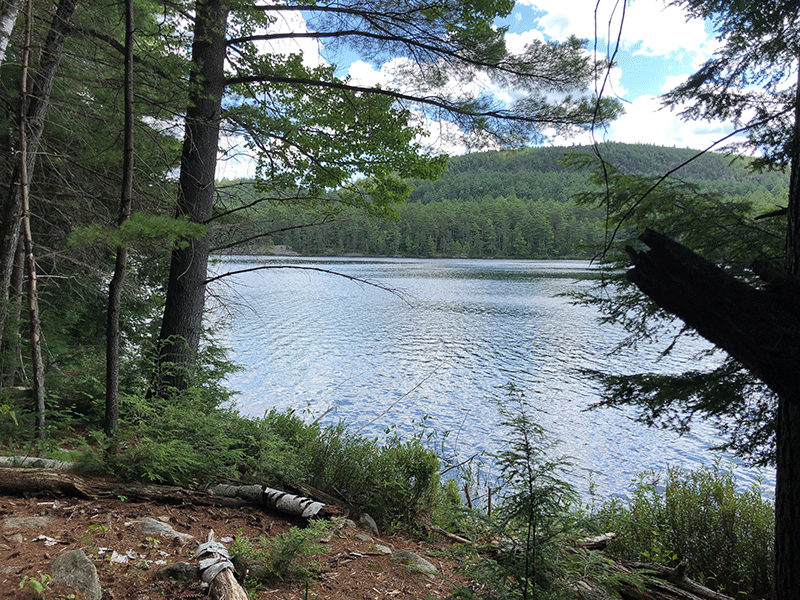
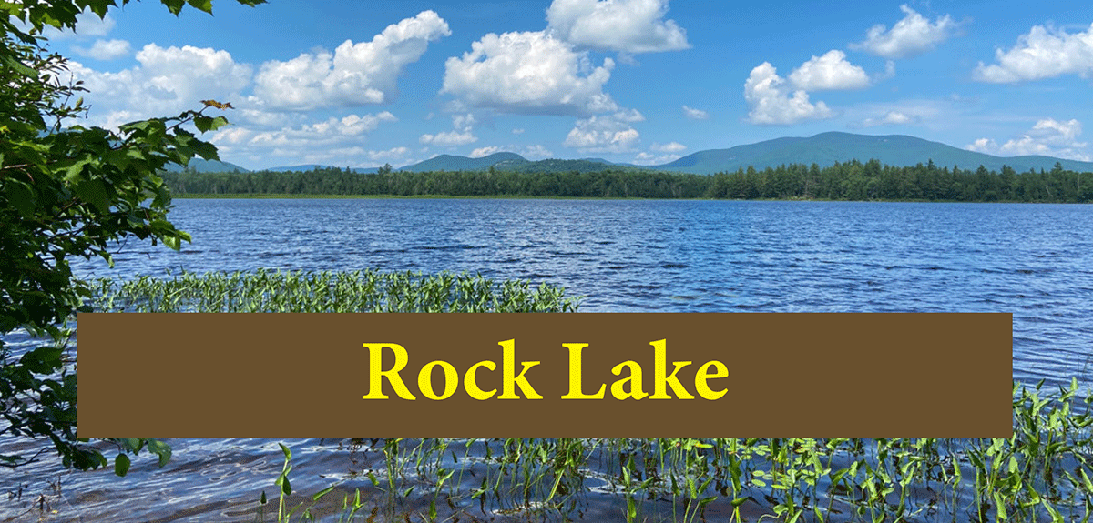
The trail soon reaches the south end of Pharaoh Lake, where there is a trail junction. Follow signs for the trail on the west shore of Pharaoh Lake to Pharaoh Mountain. The forest along this section is mostly coniferous, though hardwoods take over as you get further from the lake. Side trails on this section lead to shoreline lean-tos and campsites.
The Summit of Pharaoh Mountain
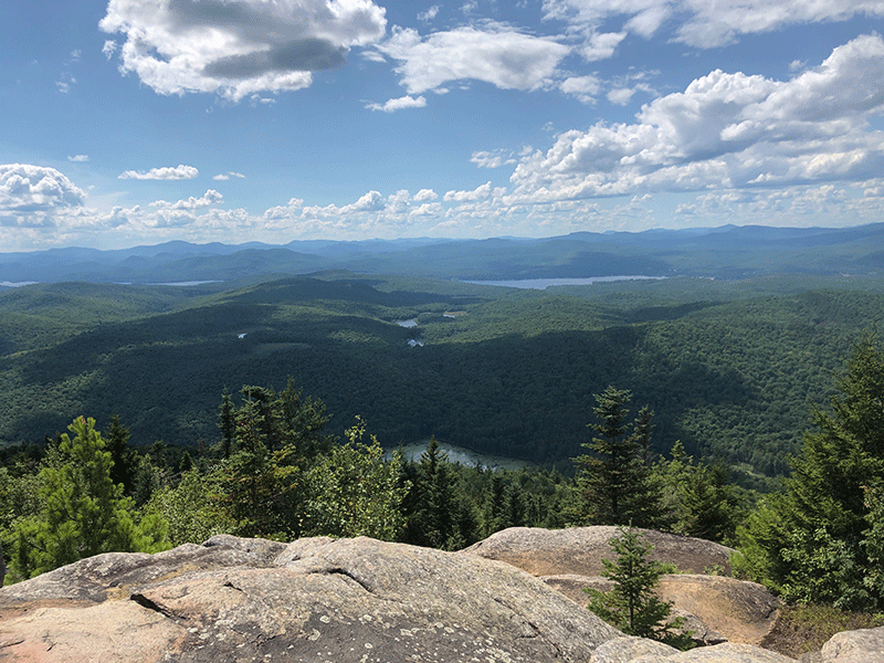
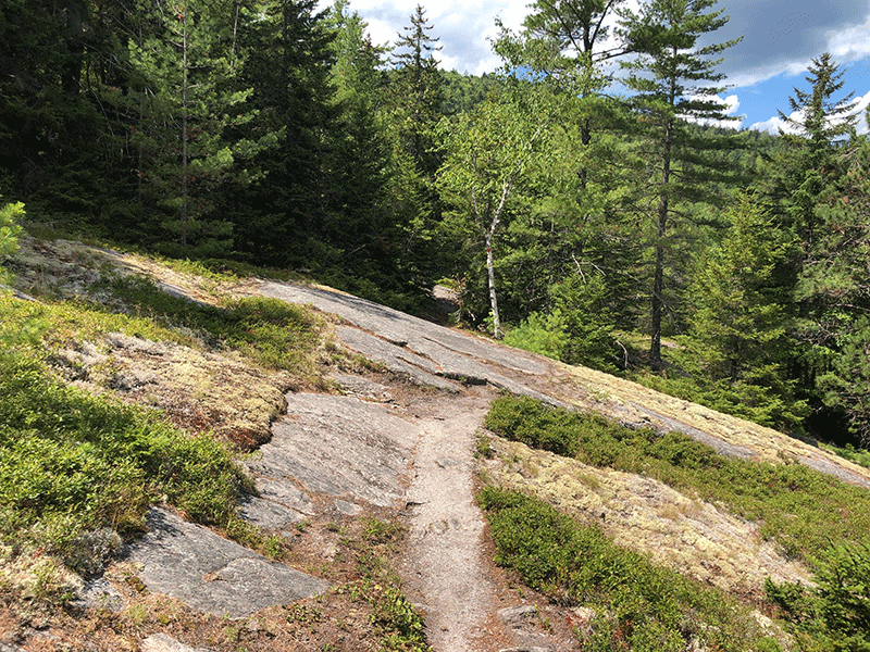
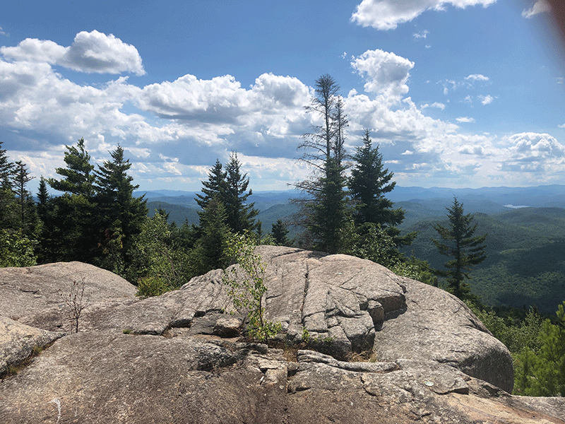
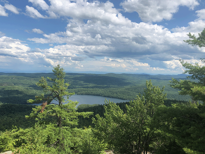
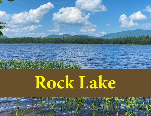
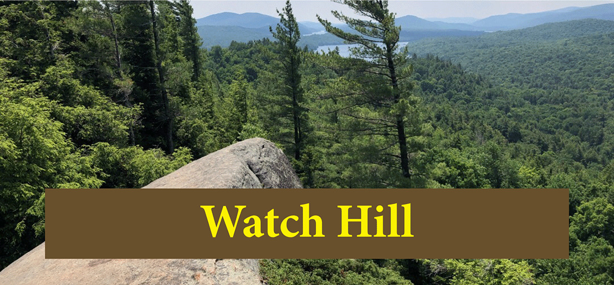
About 0.5 miles along the west shore of the lake, the trail up Pharaoh Mountain departs on the left to the west. The climb through a beech and maple forest is steep in places and not heavily worn, but adequately marked and easy to follow. As the trail progresses closer to the summit, conifers begin to reestablish but never completely take over due to insufficient elevation. The summit is wide-open, with lots of rocky spaces for sitting, resting, and enjoying the view. The landscape below unfolds in all directions with terrific views of Pharaoh Lake, Crane Pond, Putnam Pond, and High Peaks in the distance.
The trail back out is the same route as used to hike in.
Click here to download a map and trail directions for Pharaoh Mountain.
When You Hike Make Sure to Practice “Leave No Trace” to be Prepared and to Protect the Forest Preserve
Please follow “carry in, carry out” rules for all trash and follow other Leave No Trace principles when hiking in the public Forest Preserve and other wild areas. The seven Leave No Trace principles are: 1) Plan ahead and prepare; 2) Stay on hiking trails and camp at designated areas; 3) Dispose of human waste and trash properly; 4) Leave what you find; 5) Minimize campfires; 6) Respect wildlife; 7) Respect other hikers.
Educated hikers do not damage the environment. Prepared hikers do not need search and rescue unless injured.
Winter Use: Pharaoh Mountain is a popular mountain for snowshoeing and cross-country skiing in the winter.
Click here to become a member of Protect the Adirondacks.