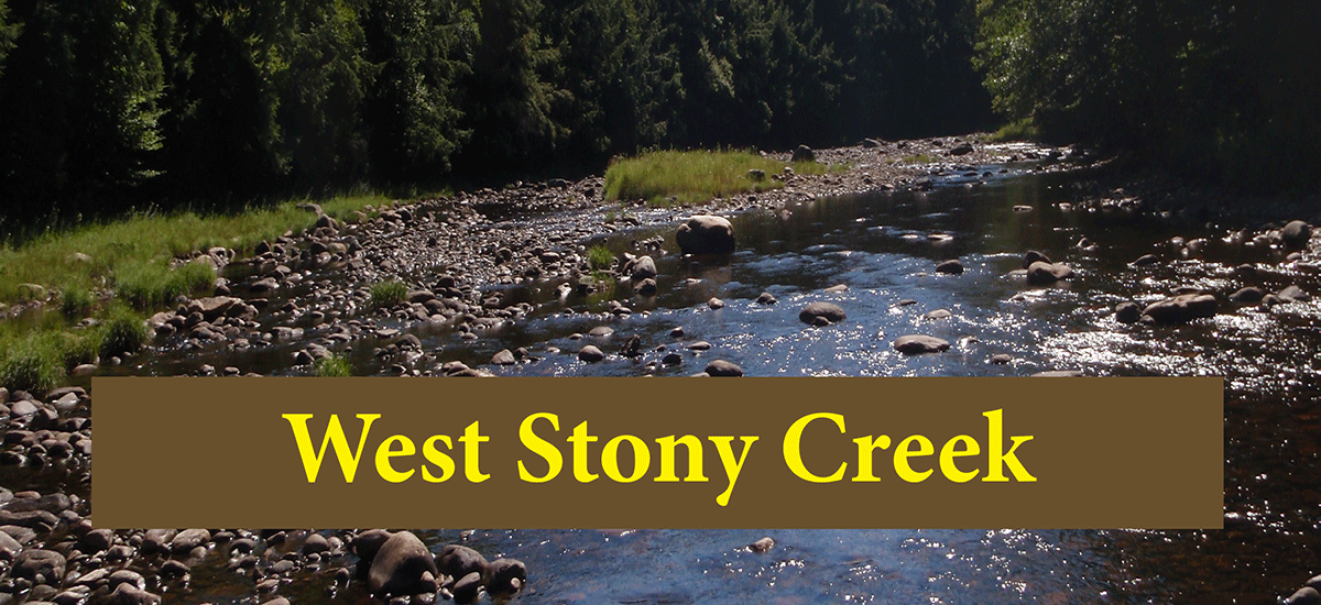
The 3.8 mile hike to West Stony Creek from the north side leads through old growth forest to a beautiful river valley
West Stony Creek (north side)
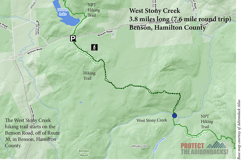
3.8 miles (7.6 miles round trip)
Shaker Mountain Wild Forest
Benson, Hamilton County
Hiking, Snowshoeing, Cross-Country Skiing
Level of Difficulty: Moderate
Hike to West Stony Creek
The West Stony Creek Trail is in the Town of Benson in Hamilton County. The trail is in the public Forest Preserve in the Shaker Mountain Wild Forest area. This trail guide describes the 3.8-mile hike to West Stony Creek from the north side, from the Benson Road, following a new section of the Northville Placid Trail (NPT).
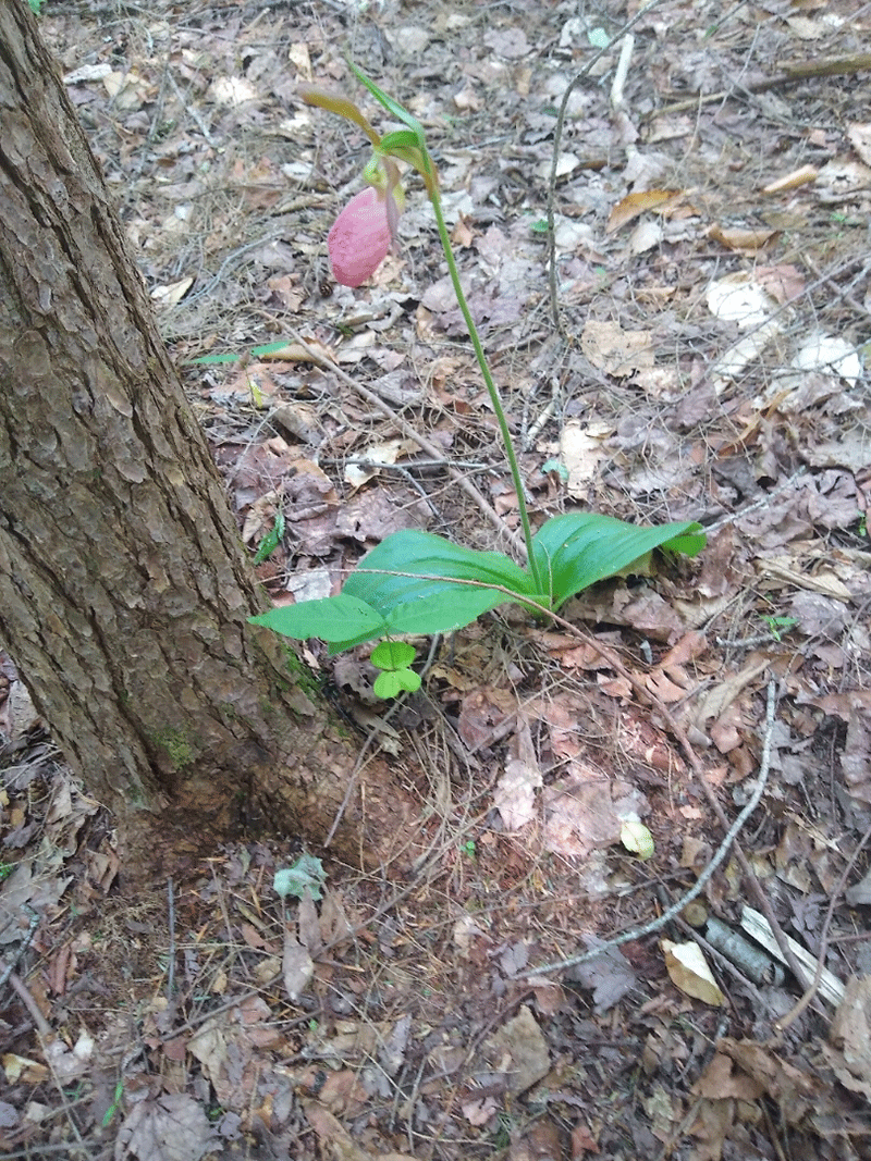
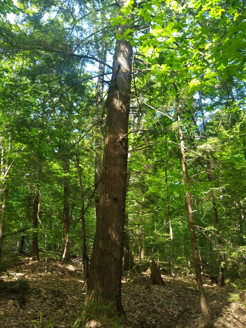
This section of the NPT is accessed at a parking area on the south side of Benson Road. To reach the parking area, turn west from Route 30, just north of Northville. The trail begins at the parking lot. The trail runs southeast through heavy beech forest, scattered with birch, maple, and ash trees, as well as a number of impressively large hemlock trees along the trail.
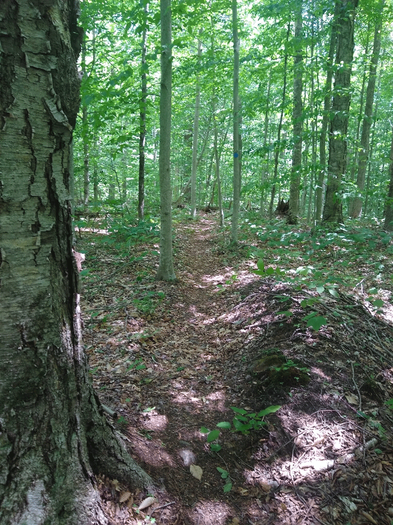
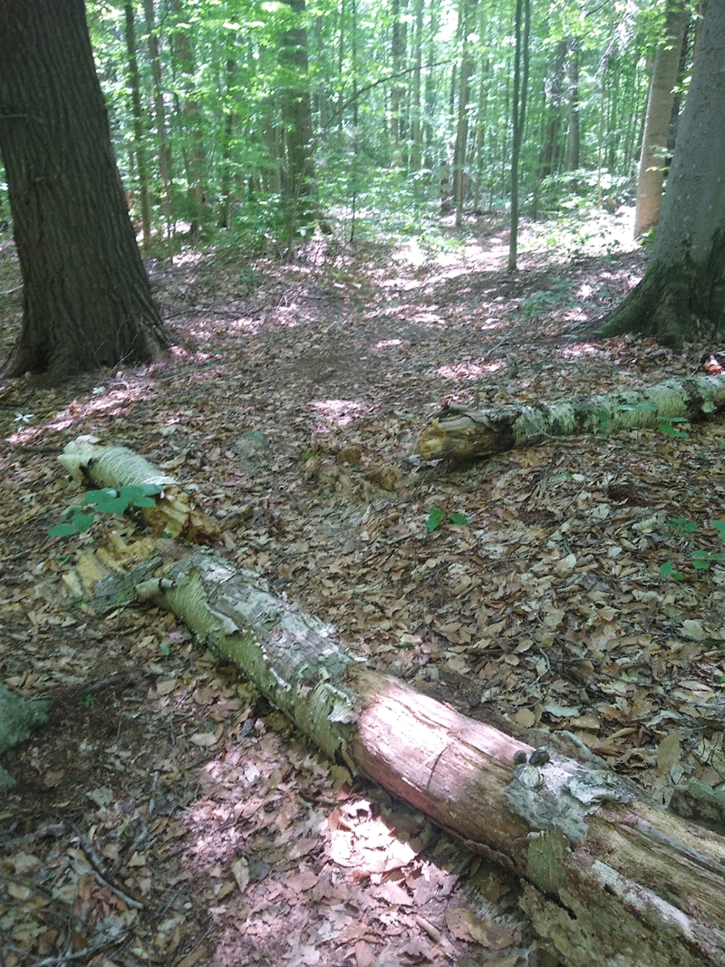
Although the trail is not always clear on the ground due to low traffic, but follow the abundant blue NPT trail markers. It is not difficult to stay on track.
About 2 miles in, the trail bears more directly east, parallel to West Stony Creek, for about a mile before turning sharply south again for the last stretch to the creek. The last mile or so of the trail leads down a few sharp inclines and declines, getting close to the river valley.
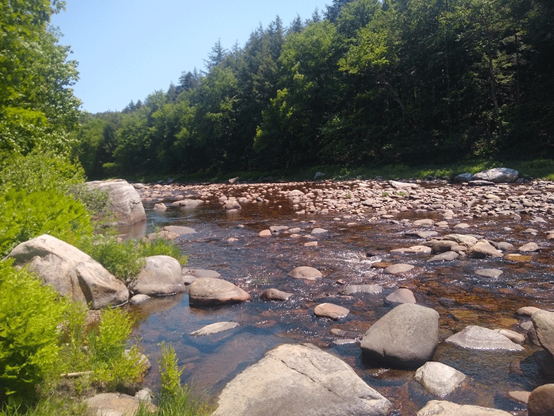
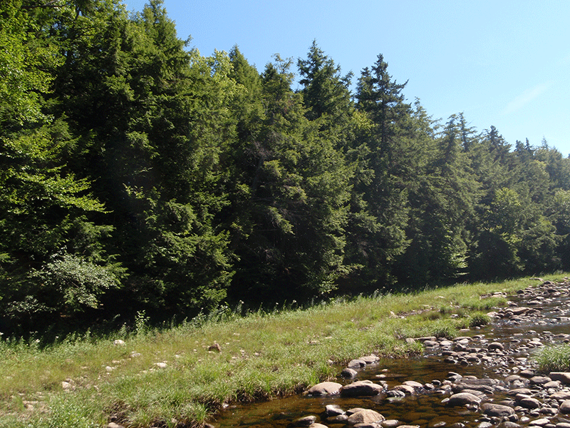
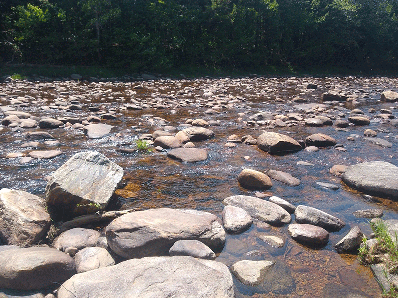
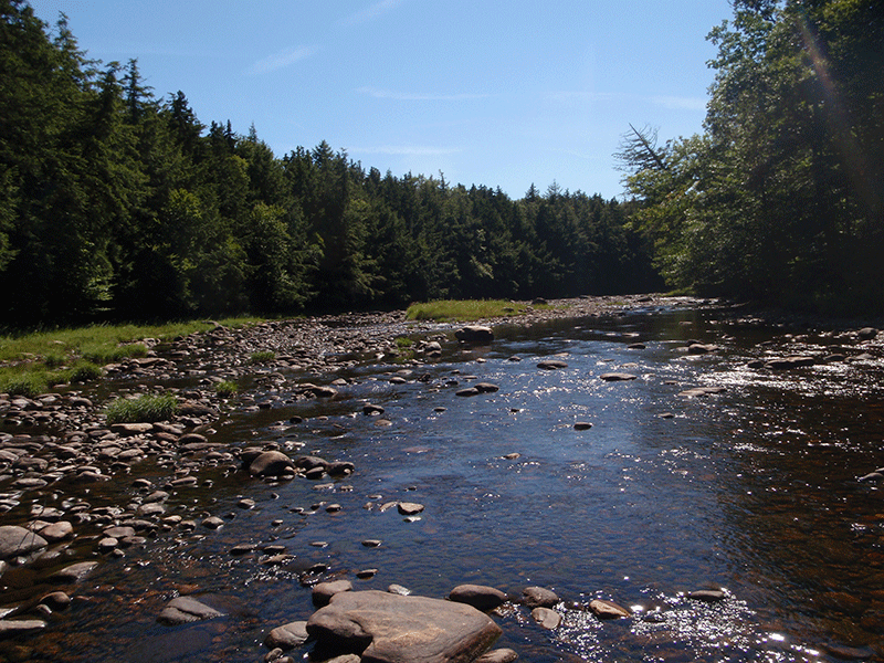
West Stony Creek River Valley
Just before reaching West Stony Creek, there is a campsite with a firepit on the left side of the trail. There are also signs pointing the way to a new lean-to. The trail to the lean-to is not particularly clear, but follow the orange flagging on the trees that mark the way.
Just beyond the campsite, the trail reaches West Stony Creek. Hikers will pass through a field of tall ferns on the riverbank, and in low water conditions, find plenty of warm, sunned rocks to sit on and enjoy lunch, snacks, or a short rest. The river is very wide and shallow. Depending on the water level, the stream can be difficult to cross, but by early in the summer most times there are enough rocks to cross easily to the other side. On the other side, the trail continues on to Mud Lake in another 3.2 miles, and after an additional 5.1 miles, reaches Northville.
The return trip has quite a bit of uphill hiking, especially at the start. Follow the NPT back to the Benson Road.
When You Hike Make Sure to Practice “Leave No Trace” to be Prepared and to Protect the Forest Preserve
Please follow “carry in, carry out” rules for all trash and follow other Leave No Trace principles when hiking in the public Forest Preserve and other wild areas. The seven Leave No Trace principles are: 1) Plan ahead and prepare; 2) Stay on hiking trails and camp at designated areas; 3) Dispose of human waste and trash properly; 4) Leave what you find; 5) Minimize campfires; 6) Respect wildlife; 7) Respect other hikers.
Educated hikers do not damage the environment. Prepared hikers do not need search and rescue unless injured.
Winter Use: West Stony Creek Trail is a suitable for snowshoeing and cross country skiing in the winter.
Click here to become a member of Protect the Adirondacks.
