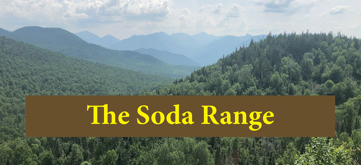
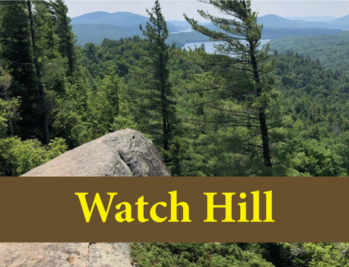
The Soda Range Trail leads through varied, beautiful forests to a series of small peaks with outlooks and rocky outcrops that provide great views of the High Peaks and other mountains
Soda Range Trail (Nun-Da-Ga-O Loop)
6 mile loop
Hurricane Mountain Wilderness
Keene, Essex County
Hiking, Snowshoeing
Level of Difficulty: Challenging
Hike the Soda Range
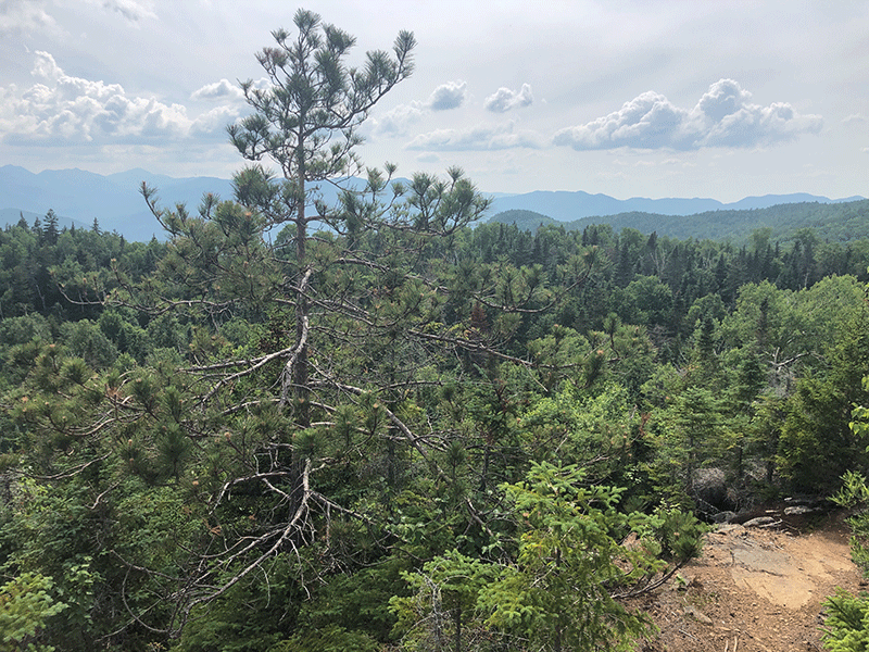
The Soda Range, often called the Nun-Da-Ga-O Loop, is an unmarked loop that climbs small mountains and connects to a series of rocky outcrops with great views of the High Peaks and Great Range. The trail is located on public Forest Preserve in the Hurricane Mountain Wilderness Area in the Town of Keene in Essex County. There are beautiful views and diverse forest types at numerous points along this trail.
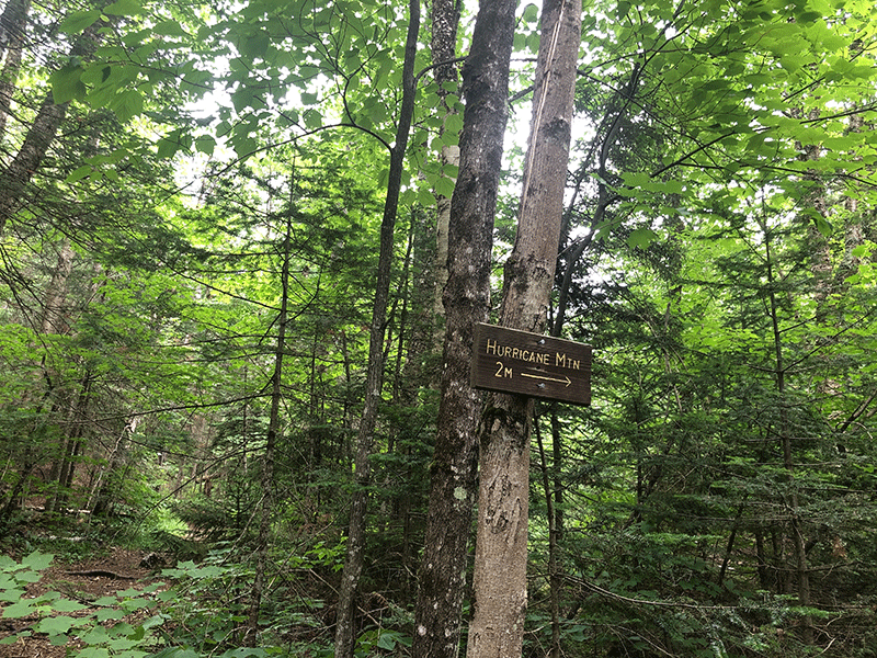
The trailhead and parking area are at the end of O’Toole Road, a dirt road at the end of East Hill Road and Hurricane Road. This is the same parking area for the trail to Big Crow Mountain and Little Crow Mountain and the north trail to Hurricane Mountain.
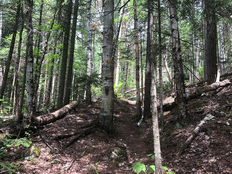
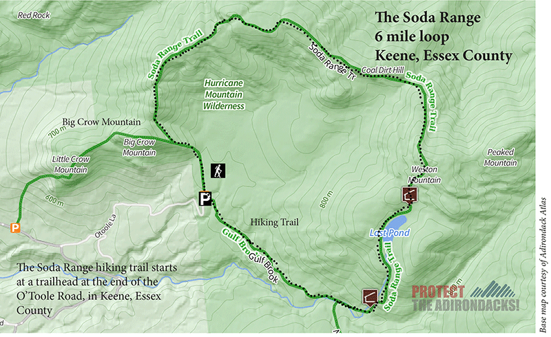
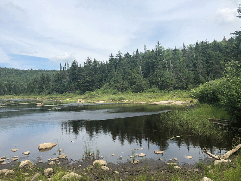
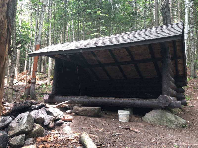
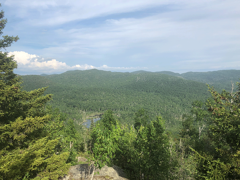
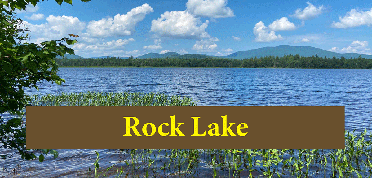
Hiking clockwise on this trail, the first stretch is marked and leads to a few campsites in the area and the Gulf Brook lean-to. Just before the lean-to, the North Trail to Hurricane Mountain cuts off to the right. Continue straight towards the lean-to, which is 1.3 miles in. At 2 miles, this trail passes Lost Pond and Lost Pond (Biesemeyer) Lean-to and then begins by climbing the ridgeline. The forest is interspersed with dense evergreens and patches of paper birch. From the shoreline of this pond, Weston Mountain, the first peak of the Soda Range ridgeline, is visible.
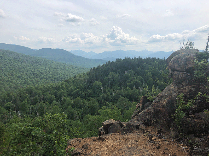
The Varied Summits of the Soda Range
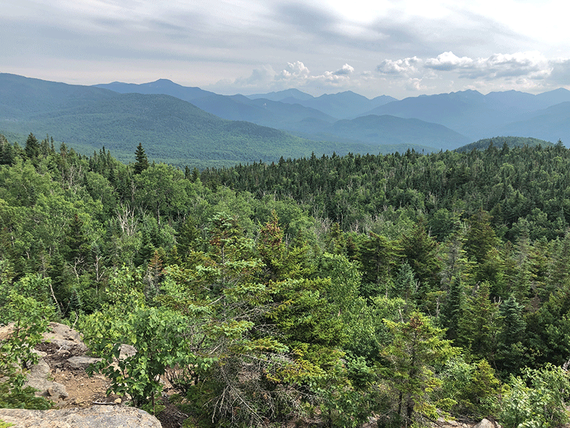
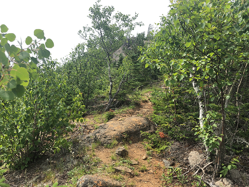
The trail rises sharply and soon reaches Weston Mountain, where a rocky outcrop provides an excellent view of Lost Pond, and Hurricane Mountain and the High Peaks to the south.
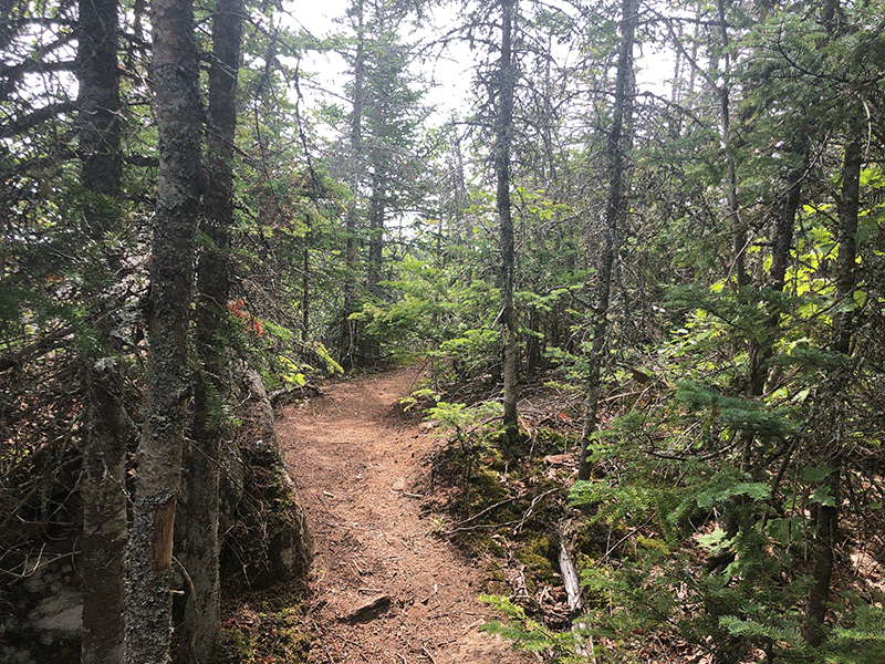
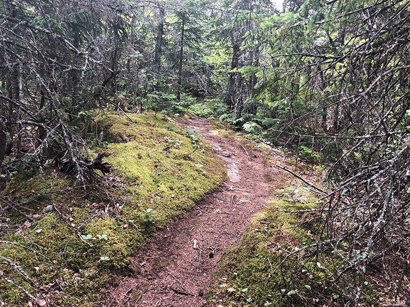
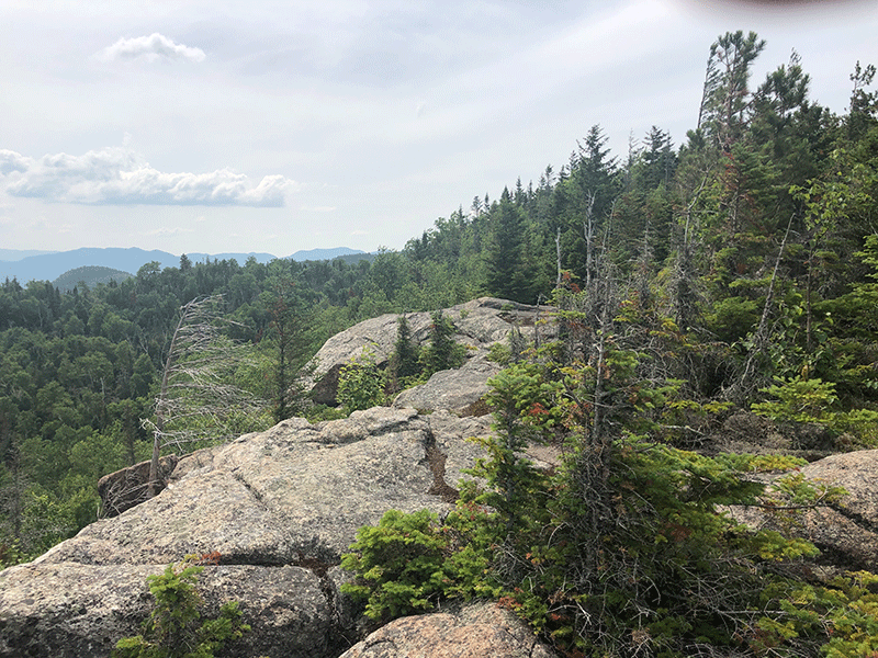
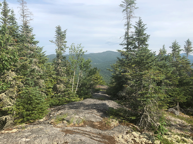
As the hike progresses, great views from Coal Mountain and the extensive ridgeline will open up to the south, east, and west, offering clear sights of Jay Mountain to the north and the Crows and the Great Range to the south. Except for intermittent rocky outcroppings, this ridgeline is forested with dense and mossy high-altitude boreal forests. This trail is visually stunning in many places.
The Nun-Da-Ga-O Trail ends at a junction with the well-worn trail up Big Crow Mountain, some 0.4 miles from the parking area. The trail is just 0.2 miles beneath the summit of Big Crow Mountain, so Soda Range hikers may want to climb Big Crow too. Downhill from the junction, and less than a half-mile away, is the parking lot where the hike began.
Click here to download a map and directions for the Soda Range hike.
When You Hike Make Sure to Practice “Leave No Trace” to be Prepared and Protect the Forest Preserve
Please follow “carry in, carry out” rules for all trash and follow other Leave No Trace principles when hiking in the public Forest Preserve and other wild areas. The seven Leave No Trace principles are: 1) Plan ahead and prepare ; 2) Stay on hiking trails and camp at designated areas; 3) Dispose of human waste and trash properly; 4) Leave what you find; 5) Minimize campfires; 6) Respect wildlife; 7) Respect other hikers.
Educated hikers do not damage the environment.
Prepared hikers do not need search and rescue unless injured.
Winter Use: The Soda Range is used for snowshoeing in the winter.